

North Carolina’s mountains have flooded many times, but the storm of August 1940 remains one of the deadliest and most destructive events in the region’s history. It struck twenty four years after the catastrophic flood of 1916, and in the memory of many High Country families, the two disasters are still spoken of in the same breath. This was a mountain disaster, driven by landslides as much as rising water, and it permanently changed how Western North Carolina thought about land use, forestry, and flood risk.
Introduction: The Unforgettable Deluge of 1940
In mid August 1940, the remnants of an Atlantic hurricane collided with an already saturated Western North Carolina landscape. The result was days of relentless rain, thousands of landslides, and a flood that reshaped entire communities in counties like Watauga, Ashe, Wilkes, Haywood, and Caldwell. Decades later, the flood is still used as a benchmark against which modern disasters, including 2024’s Hurricane Helene, are measured.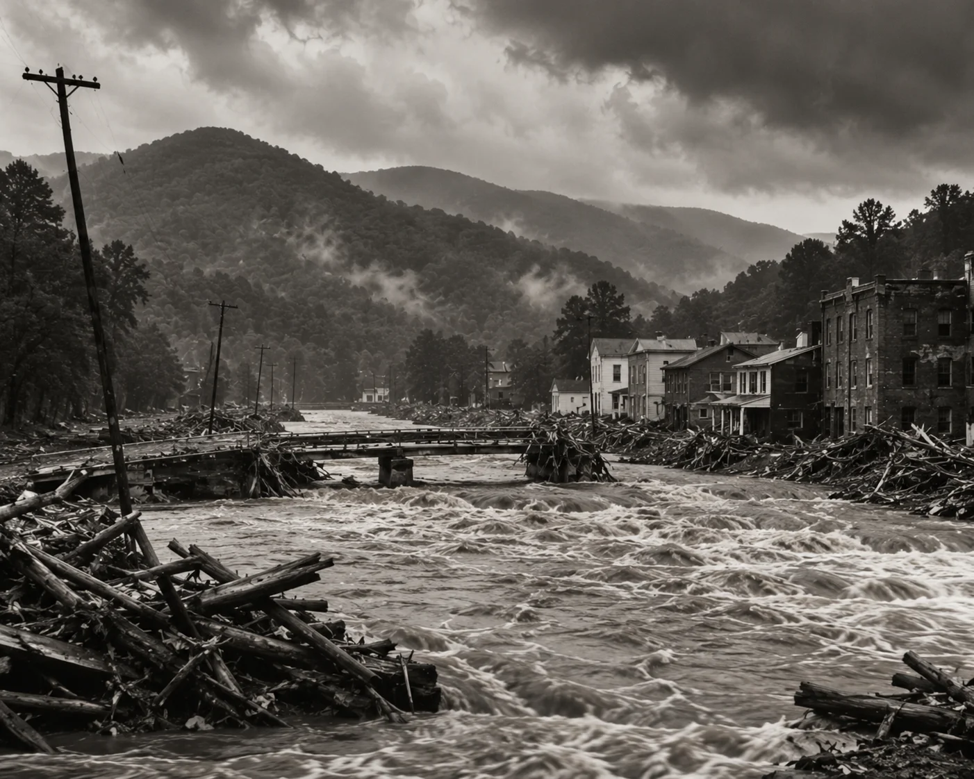
A Perfect Storm of Rain: The Meteorological Causes of the Flood
On August 11, 1940, a hurricane made landfall in South Carolina and tracked northwest before curling north into the Western North Carolina mountains. It arrived on top of a landscape already soaked by weeks of summer rain. The region had already recorded roughly 21 inches of rain earlier that August. When the storm’s remaining moisture met the steep terrain of the Blue Ridge Escarpment, the mountains wrung the rain out at extraordinary rates.
The Hurricane That Was: Tracing the Storm’s Path
Unlike a coastal storm that strikes and quickly moves back out to sea, this hurricane pushed inland and curled directly over the mountains, keeping deep, moist air flowing up the eastern slopes of the Blue Ridge for days. According to accounts drawn from National Weather Service records, this slow, upslope track is what turned a serious rain event into a historic disaster.
Record Rainfall: Inches That Broke the Banks
The heaviest rain fell over a roughly five day stretch, from August 12 through August 16, with more than 8 inches recorded across most of the mountains. Several stations recorded far more. Crossnore and Mount Mitchell both topped 14 inches, Highlands and Hickory topped 12 inches, and parts of Jackson County saw an 8.7 inch, 24 hour rainfall record along the Tuckasegee River. In Watauga County specifically, roughly 12 to 13 inches fell in the week leading up to the storm’s peak on the evening of August 13.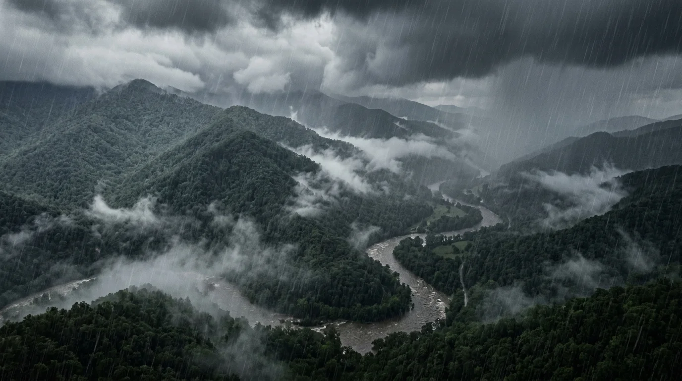
Rivers Overwhelmed: A Timeline of the Flood’s Wrath
The timeline of the flood shows a rapid and terrifying escalation across dozens of waterways at once.
August 11 to 12: The hurricane makes landfall in South Carolina and begins tracking into the North Carolina mountains. Days of prior rain leave soils fully saturated.
August 13: The storm’s rainfall peaks. This is the single most destructive day of the event. Rivers surge, and saturated mountainsides begin failing in the dark, giving many families no warning at all.
August 13 to 14: Watauga County alone experiences several hundred landslides, with some later surveys counting more than 2,000 debris flows and slides across the county once aerial photography was reviewed. Nine of twelve landslide deaths in the county occur in the Stony Fork community near Deep Gap.
Following days: Roads, rail lines, and bridges across the region are cut off for days to weeks. A 6 mile stretch of U.S. 421 between Deep Gap and Maple Springs is severed in 21 separate places.
Rivers across the region, including the Watauga, New, Yadkin, French Broad, Tuckasegee, and Little Tennessee, all crested at or near record levels. The Watauga River crested roughly six feet above its 1916 record.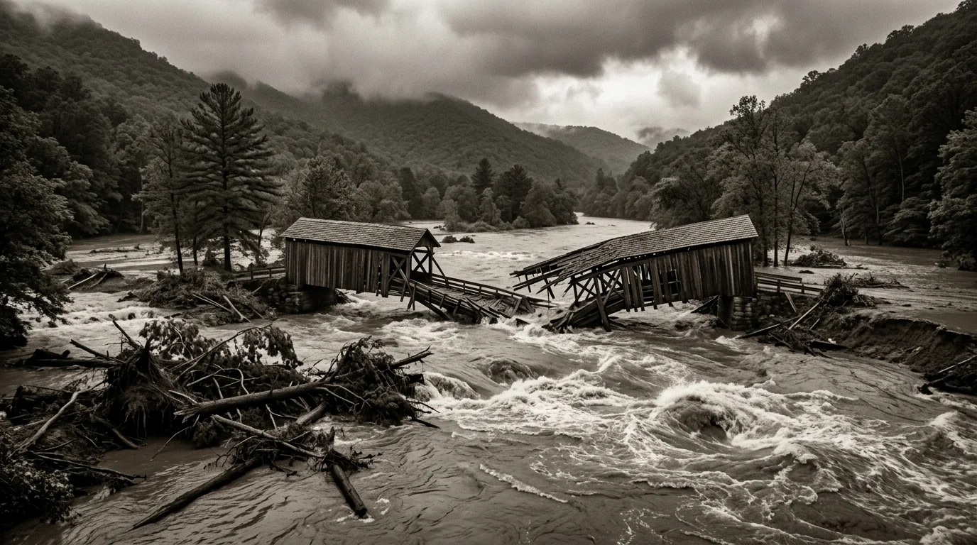
Mapping the Disaster: The Hardest-Hit Areas of North Carolina
The flood’s impact was widespread across the mountains, but Watauga County and its neighbors bore the brunt of the destruction.
The Watauga River Basin: The Epicenter of Catastrophe
This river system, along with the smaller creeks feeding into it, experienced some of the most dramatic and destructive flooding in the state.
The Destruction of Boone and Blowing Rock
Downtown Boone, sitting at over 3,300 feet of elevation, flooded after roughly 8 inches of rain fell in a single day. Blowing Rock and other nearby communities were cut off by washed out roads for days at a time. The New River Light and Power dam was destroyed for a second time in the flood, and families across the county fled to higher ground as creeks turned into torrents.
Mortimer, NC: The Town That Never Recovered
South of Grandfather Mountain in Caldwell County, Wilson Creek reportedly crested near 94 feet as it tore through the small mill town of Mortimer. Built in 1904 to house workers for a lumber and textile operation, Mortimer was effectively wiped off the map by the flood and never rebuilt at its former scale.
The Ravages Beyond Watauga: Ashe, Wilkes, and Caldwell Counties
Further across the mountains, Ashe County reported no fatalities but suffered heavily in property terms, with roughly 30 homes and 50 barns destroyed in and around Lansing, and hundreds more farms damaged. In Caldwell County, an estimated 90 percent of bridges were destroyed, isolating communities for weeks. The flood damaged critical infrastructure across the region, including bridges, rail lines, and power stations, crippling transportation and communication for weeks. In Canton, in Haywood County, the Pigeon River flooded over 100 families out of their homes, and in Asheville, all three water supply mains into the city burst.
The Human Toll: Lives Lost and Communities Forever Changed
The human cost of the flood was profound. Estimates of the death toll vary by source and by how landslide deaths were counted at the time, but most place the statewide total between 20 and 26. Watauga County alone lost at least a dozen people to landslides, and Deep Gap’s Stony Fork community was hit especially hard. The emotional and psychological toll was immeasurable. Thousands of homes, barns, and farms were destroyed or damaged across the mountains, and rail service across the region was disrupted for over a month.
The Heroic Efforts of Rescue and Relief
In the face of disaster, courage emerged. The Red Cross worked to arrange hasty relief and evacuation sites, and many displaced residents were inoculated for typhoid fever as families crowded into schools and churches for shelter. Local rescuers, cut off from outside help by washed out roads, often worked on foot and by horse to reach stranded neighbors in the days after the storm.
Expert Insight
One detail worth understanding about disasters like the 1940 flood is why a headline number like “the death toll” is rarely a single, precise figure even decades later. Contemporary newspaper counts, county level records, and later historical or geological reviews often applied different criteria for what counted as a flood related death, including whether someone killed in a mudslide days after the initial storm was included, or whether deaths in isolated communities that took days for rescuers to reach were ever formally logged at the time. This is exactly why the 1940 toll is reported as a range, roughly 20 to 26 statewide, rather than a single number, and why accounts from hard hit communities like Stony Fork sometimes cite figures that read differently from the broader state total. The same pattern applies to the widely repeated $300 million damage estimate. That number originated as a contemporary newspaper figure rather than a formal audited assessment, and it is still the number most commonly cited today largely because no definitive modern recalculation has ever replaced it. Treating both figures as well sourced estimates, rather than exact counts, is the more accurate way to understand what the historical record actually supports.
The Economic Aftermath: Calculating the Cost of Destruction
The financial devastation was staggering. Contemporary newspaper estimates put statewide damage at over $300 million, a figure still commonly cited today. Farms across the mountains lost crops, barns, and livestock just before harvest season, a severe blow in a region where agriculture was still the backbone of the local economy. Rail infrastructure damage was severe enough that some lines, including service into parts of Watauga County, were never rebuilt, permanently altering the region’s transportation network. The cost of rebuilding roads, bridges, and public buildings placed a heavy burden on already stretched local governments.
Table: Historic Rainfall, River Crests, and Losses
| Location | Measurement | Recorded Value | Context |
|---|---|---|---|
| Boone, NC | Rainfall (storm total) | ~12.11 in | Downtown Boone flooded after roughly 8 in fell in a single day |
| Crossnore, NC | Rainfall (storm total) | ~14.37 in | Among the highest totals recorded in the mountains |
| Mount Mitchell, NC | Rainfall (storm total) | ~14.42 in | Highest elevation station, among the heaviest totals |
| Highlands, NC | Rainfall (storm total) | ~12.80 in | Southern mountains total |
| Jackson County (Tuckasegee River) | Rainfall (24 hr) | 8.7 in | Set a 24 hour rainfall record for the area |
| Wilson Creek, Mortimer | Flood crest | ~94 ft | Town never fully recovered |
| Watauga River | Flood crest | ~6 ft above 1916 record | Also true of the Yadkin River |
| Watauga County | Landslides | 600+ documented, 2,000+ estimated | Based on later aerial photo review |
| Caldwell County | Bridges destroyed | ~90% of bridges | Isolated much of the county |
| North Carolina statewide | Fatalities | ~20 to 26 | Estimates vary by source and how landslide deaths were counted |
| North Carolina statewide | Estimated damage | $300 million+ | Contemporary newspaper estimate at the time |
A Legacy of Change: How the 1940 Flood Shaped Modern North Carolina
The 1940 flood was a painful but powerful teacher. It exposed critical vulnerabilities in the mountains’ land use, infrastructure, and disaster preparedness. In its wake, a new determination to prevent a repeat disaster took hold.
The Push for Improved Infrastructure and Land Management
The flood, like the 1916 flood before it, exposed how decades of clear cut logging had stripped mountainsides of the root systems that once held soil in place. Museum accounts and later geological surveys pointed to this deforestation as a major contributor to the flood’s extreme landslide activity, a lesson that helped shape later forestry and land use practices in the region, alongside a push for stronger rail and utility infrastructure.
The Birth of Modern Flood Control and Disaster Preparedness
The disaster forced a more scientific and systematic approach to land use and water management in the mountains. It highlighted the need for better weather forecasting, emergency response coordination, and land use planning that respected the region’s steep, slide prone terrain. The lessons learned in 1940 became part of the foundation for North Carolina’s modern approach to environmental risk management, one that local historians and emergency planners still reference today.
Remembering the Flood: Monuments and Historical Memory
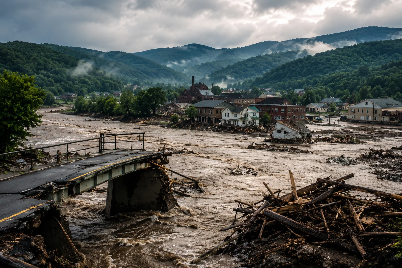
The flood is preserved today mostly through local historical societies, museum archives, and family accounts passed down in communities like Boone, Deep Gap, Valle Crucis, and Lansing, rather than through large state monuments. Digital Watauga’s photograph archive, the Museum of Ashe County History, and Western Carolina University’s Digital Heritage project all maintain firsthand accounts and images from the storm. When Hurricane Helene struck the same mountains in September 2024, many of the same rivers, the Watauga among them, broke records that had stood since 1940, and local historians again looked back at this earlier flood as the closest historical parallel. These records serve both as tributes to the people who survived it and as a lasting reminder of how quickly Appalachian creeks can turn deadly.